MAGIC Map Mash-Ups
MAGIC has created a series of Google Map Mash-Ups using data developed by MAGIC in addition to imagery provided via the MAGIC WMS and the CT ECO WMS which are included below.
![]() Attention ArcGIS and other GIS software users! Aerial Imagery and Historic maps are available via MAGIC's WMS.
Attention ArcGIS and other GIS software users! Aerial Imagery and Historic maps are available via MAGIC's WMS.
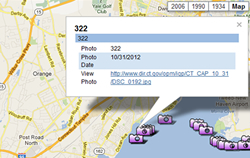
2012 Hurricane Sandy Shoreline Imagery Mashup
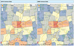
2010 and 2000 U.S. Census Side-by-Side Town Comparison Mashup
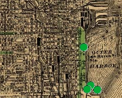
Chicago, Illinois 1890 World's Fair
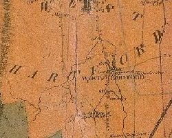
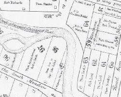
Connecticut Historical Maps
Connecticut Land Use and Hillshade Maps
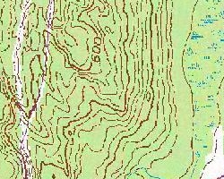
Connecticut Topographic Maps
Federal HOLC "Redlining" Map, Hartford area, 1937
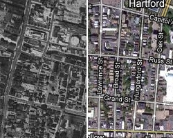
Hartford 1640 and 1893
Home Value Index in Hartford Region, 1910-2010*
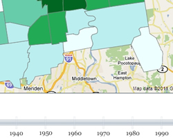
Neighborhood Change in Connecticut 1934 to Current Year
Race Restrictive Covenants in Property Deeds, Hartford area, 1940s
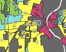
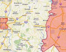
Racial Change in the Hartford Region, 1910-2010
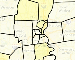
School District Boundary Comparison Viewer
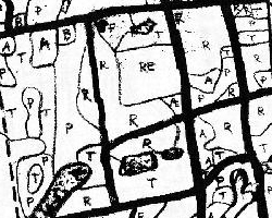
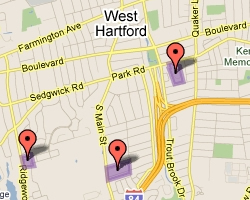
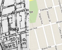
Zoning Maps of West Hartford, Connecticut, 1924 to present
University of Connecticut Storrs Campus