
Connecticut Counties - GIS Data
Welcome to MAGIC's Connecticut Counties GIS data distribution page. Included below are a variety of historical (no longer updated) Connecticut GIS datasets from the Connecticut Department of Environmental Protection, MAGIC, US Census, and other sources.
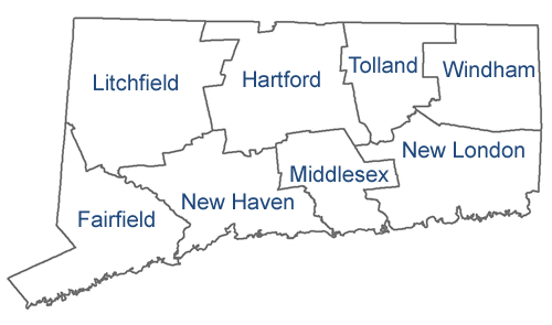
Data are organized by county. For a complete listing of current statewide Connecticut GIS data be sure to visit the MAGIC's Connecticut GIS Data page.
Fairfield County Hartford County Litchfield County Middlesex County New Haven County New London County Tolland County Windham County
For a complete listing of current statewide Connecticut GIS data be sure to visit the MAGIC's Connecticut GIS Data page.